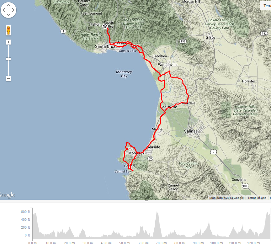
Carmel Cruise RUSA Permanent #1337 205K
Completed the RUSA permanent #1337 Carmel Cruise on Saturday. Originally a planned 127 miles route but due to getting lost and adding a few miles to grab some food our adventure ended with a total of 129 miles and 6,300′ elevation.
Our ride started early, the first control point was the Scotts Valley Safeway at 7AM.
The ride started with a early morning chilly descent and I decided to wear only my vest and arm warmers knowing that the hills would keep me fairly warm. Once again, as my last 200k brevet, I forgot how chilly and windy it is by the ocean and so, once again, I will consider purchasing a light compact windbreaker.
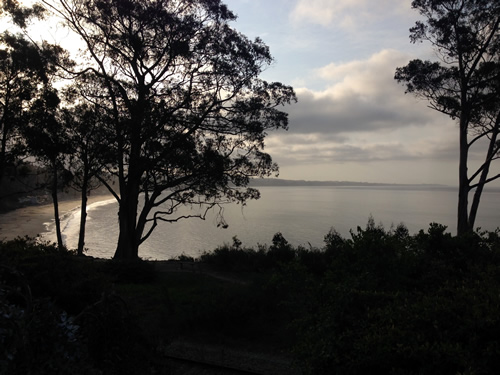
We descended down Glen Canyon Rd, sections of this road are washed out and becomes a single lane. Santa Cruz and Capitola were my old high school summer weekend haunts so it felt a bit nostalgic to be riding through there.
At the town of Aptos we rode a sectioned Beach Drive we rode down to Seacliff State Beach thinking we were going to ride along the beach but we made a mistake and had to turn back and take the high road and ride up Rio Del Mar hill (6.9% avg grade says Strava).
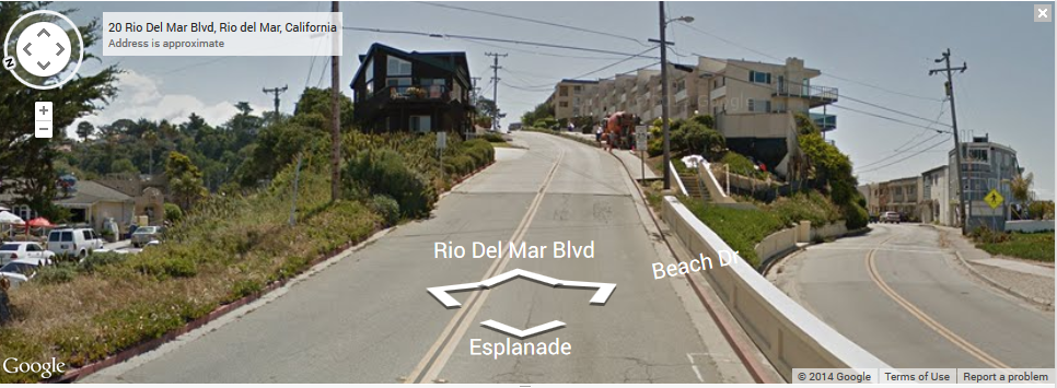
Could you blame us for being lost? Which road would you prefer to take, the Rio del Mar 7% grade or the flat Beach Drive?
Not so bad– in fact, most of the ride was very pleasant and scenic with panoramic ocean views.
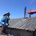
As you enter Monterey most of the route was on the bike path — I will get back to the farm roads later. As you near the Cannery Row there are murals with characters possibly depicted from John Steinbeck featured novels (Trivia! Which famous actor featured in two of Steinbeck’s novels in 50’s?). The bike and pedestrian shared path becomes crowded with snorkels, visitors for the Monterey Bay Aquarium and various restaurants so we had to slow down and enjoy the stop and go along the path.
-

-
Bike path murals behind Cannery Row
-

-
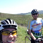
Chris Davies and I riding along the scenic bike path to Monterey
-
-
Soquel Cove of Monterey Bay
-
-
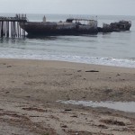
The SS Palo Alto at the Seacliff State Beach
As we headed toward Carmel, enjoying the sights of Pacific Grove, on the opposite side of the street we saw a speedy tandem approaching. I was impressed by their coordination and smiled as we passed but a few beats later I heard my name called out!
Strange.
We turned around and it was none other than fellow #BCC Ian Prowell and lovely stoker Cheryl Prowell!
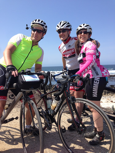
Ian and Cheryl Prowell on their beautiful Calfee Tetra tandem
We couldn’t be more surprised with the coincidence of meeting on the road and being far from home. We’ve chatted several times on Google+ but never met in real life. How incredibly cool is that! Take a look at Strava’s absolutely cool new feature called PlayBack. It will give you an animated flyby glance of your route as well as others who are roughly in the same area at the same time! 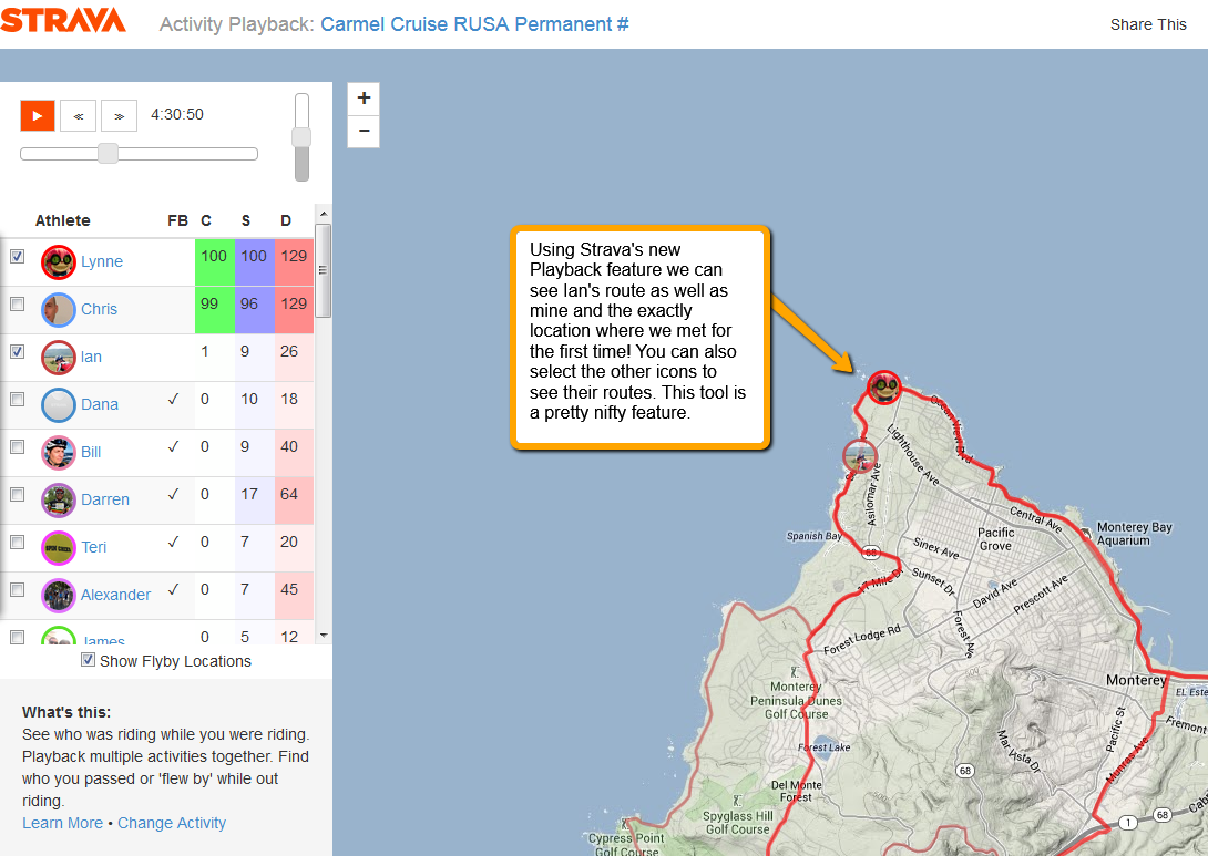
 Chris and I continued on our way to Carmel’s famous 17 Mile Drive where the famous Pebble Beach, Cypress and Spyglass golf courses are but not being golf fans we didn’t feel the need to stop.
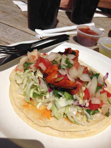
Here’s my Yelp review of Island Taco: http://www.yelp.com/biz/island-taco-carmel?hrid=PO1CsAUKlqgHVFWU2jwHdg
The nice thing about not driving is that we didn’t have to pay an entry fee to ride through the 17 Mile Drive. As we descended into Carmel we went to the next open control point. We decided to go to the Crossroads Shopping Center and find some place to sit down, eat while watching our bikes. We found Island Taco; it wasn’t bad but for one burrito and a small fish taco with 2 sodas the total was 21 dollars! Gulp~ yeah, a little pricey but it serves as a motivator for me to start creating my own randonneur portable (aka the Allen Lim rice cake) lunches.
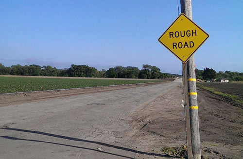
 This route was beautiful so I don’t want to discourage anyone from riding it but I would give the warning that the roads in the farm areas are scenic but very rough, I felt exhausted from absorbing all the road vibration in the back of my arms, and hands.
Coming back from the strawberry and artichoke fields and back to Santa Cruz was tiring. The combination of traffic, rough road and winds began to wear me down & I needed a mental break.We found a Quiznos sandwich shop and shared a half sub and soda and felt better. All that was left was the climb back. Climbing out of Glen Canyon wasn’t difficult in % grade but at this point I just wanted this ride to be over and was getting hungry. My forearms and fingers were getting numb and I also noticed my right baby toe was getting numb too — how odd is that?
We finally reached Safeway again, our final control point. While Chris purchased water for our recovery drinks (powder was prepared earlier and waiting in the car!) I bought my favorite salty potato chips! I love the feeling of removing cycling shoes and replacing them with sneakers; I love the taste and the crunch of chips on the drive home after a long ride!
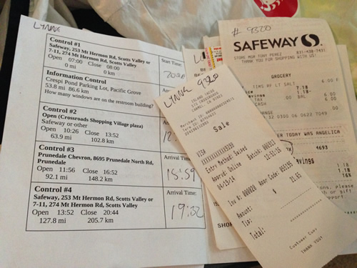
Randonneurs have to travel with brevet cards where date/time/location are documented as proof of arrival.
 So, according to the American Academy of Orthopaedic Surgeons, this Cubital Tunnel Syndrome can be caused by “repetitive or prolonged activities that require the elbow to be bent or flexed”.
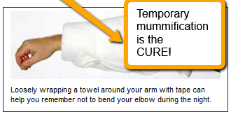 I am joking about this above image being a cure. Just a desperate attempt to help relieve some pain so I may ride this coming weekend. In the meanwhile, I hope you’ll leave a message and tell me what your rough experiences have been when riding long distances.


